
The USS Oregon journeyed from Bremerton, Washington to Jupiter Inlet, Florida sailing through treacherous seas, storms, and out of communication with the rest of the world. The modern devices that we know of today such as radar, sonar, GPS, or even radio were not onboard Oregon when she made her long journey. Nothing but the sheer determination of the crew, skillful seamanship, and sense of duty carried the ship to her appointed destiny. Many people and naval thinkers throughout the world watched and awaited the outcome. Most believed the ship was doomed from the start and that the lone ship would succumb to the seas or a lurking Spanish fleet. But 14,500 miles and 67 days later, the Oregon emerged, in full fighting trim. The voyage was heralded as one of the greatest events of naval history. It proved that the United States could build first class warships and sail them expertly.
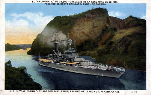
On a more strategic level, though, the ships' journey justified that Captain Alfred T. Mahan was correct when he suggested a canal to link the Pacific Ocean with the Atlantic Ocean be built. The U. S. Navy needed a swifter way of reinforcing its fleets, and the only way to accomplish this would be a canal that traversed the Panamanian isthmus. The voyage of the Oregon proved the United States Navy could not afford to send its warship on long voyages around Cape Horn and provided the final justification for the construction of the canal. A few years later, work on the Panama Canal would commenced. There would be no more cruises like that of the USS Oregon.
Bremerton to San Francisco........................................................................820 miles
San Francisco to Callao, Peru.....................................................................4,112.0 miles
Callao to Port Tamor (the western end of the Straits of Magellan)................2,549.0 miles
Port Tamor to Punta Arenas (the eastern end of the Straits of Magellan)......131.4 miles
Punta Arenas to Rio de Janeiro, Brazil.........................................................2,247.7 miles
Rio de Janeiro, to Bahia (Salvador),Brazil....................................................741.7 miles
Bahia to Barbados, British West Indies........................................................2,228.0 miles
Barbados to Jupiter Inlet, Florida.................................................................1,665.0 miles
Note - Miles are nautical miles not statute miles. A nautical mile is 6,076 feet, whereas a statute mile is 5,280 feet.
A total of 4,100 tons of coal were used for the voyage. Average speed for the voyage was 11 knots (roughly 13 miles an hour).